
| AUSTRALIAN PASTEL ARTIST- John Darcey |
Paper Size: 760mm x 560mm
Soft Artist's quality pastels on Acid Free 100% Cotton Paper
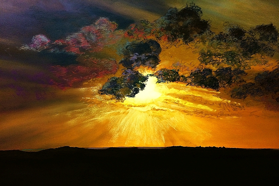
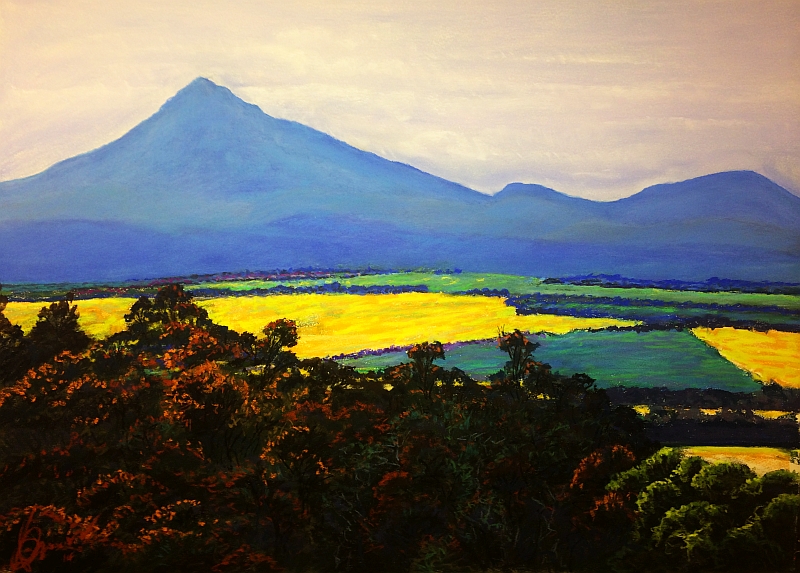
Western Australia.
Paper Size: 760mm x 560mm
Soft Artist's quality pastels on Acid Free 100% Cotton Paper
Finalist, BWS Art Awards 2015
33 kilometres North East of the town of Mingenew
in Western
Australia’s Mid West Region is a Conservation Park known as the
“Coalseam”. The
name was given to the area by brothers Augustus Charles and Francis
Gregory in
1847 when they found surface coal on the banks of the Irwin River. This
was the
first coal discovered in Western Australia but thankfully, proved
economically
unviable. Today the Conservation Park attracts visitors from around the
world
to witness its spectacular wild flower display each spring.
Mingenew is thought to have been named after an aboriginal word, Minganu, meaning 'place of many ants'.
Soft Artist's quality pastels on Acid Free 100% Cotton Paper.
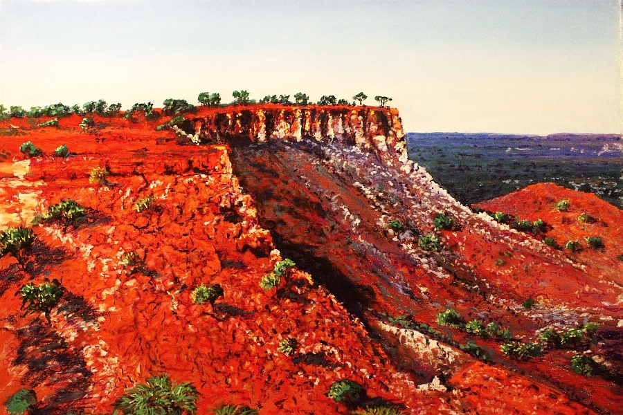
Western Australia.
The spectacular Kennedy Ranges are located 900kms north of
Perth. They are the Eastern edge of a large plateau forming part of a giant
mesa over 190kms in length, rising over 100metres above the Lyon River valley.
The ranges formed a geological boundary between the Maia and the Malgaru Aboriginal peoples. Explorer
Francis Gregory name the ranges after the then Governor of Western Australia Arthur
Kennedy. The area had become degraded, largely due to overstocking early in the
20th Century and was protected by National Park status in January
1993.
Soft Artist's quality pastels on Acid Free 100% Cotton Paper.
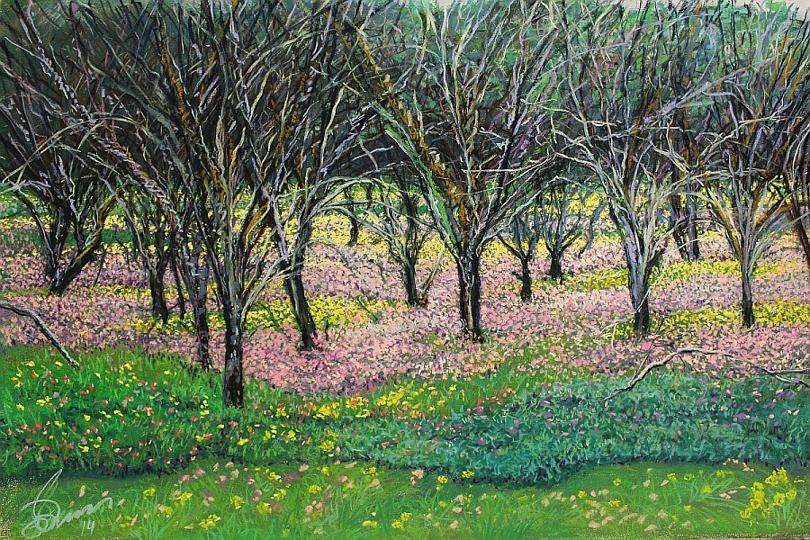
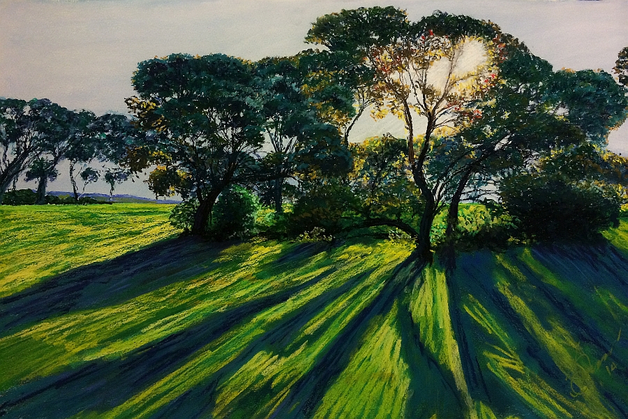
This painting depicts late afternoon winter sun through a small grove of Eucalypts (Eucalyptus Loxophleba, commonly known as York Gum) in an area south of the Irwin River known as Springfields. Shortly after the area was first surveyed in the mid 1800’s into small holdings, major issues of legal access erupted, the whole area of 700 acres was purchased by Joseph Chivers and became known as Spring Farm. In 1979 the area was sold in its original surveyed locations and major issues of legal access erupted. The Irwin District was named by explorer George Grey in 1839 after the governor of the Swan River Colony, Major Fredrick Irwin. The area was called Thungarra, 'Meeting place of seals' by the local Wattandee aboriginal people.
Soft Artist's quality pastels on Acid Free 100% Cotton Paper.
LARGER VIEW HERE
SOLD
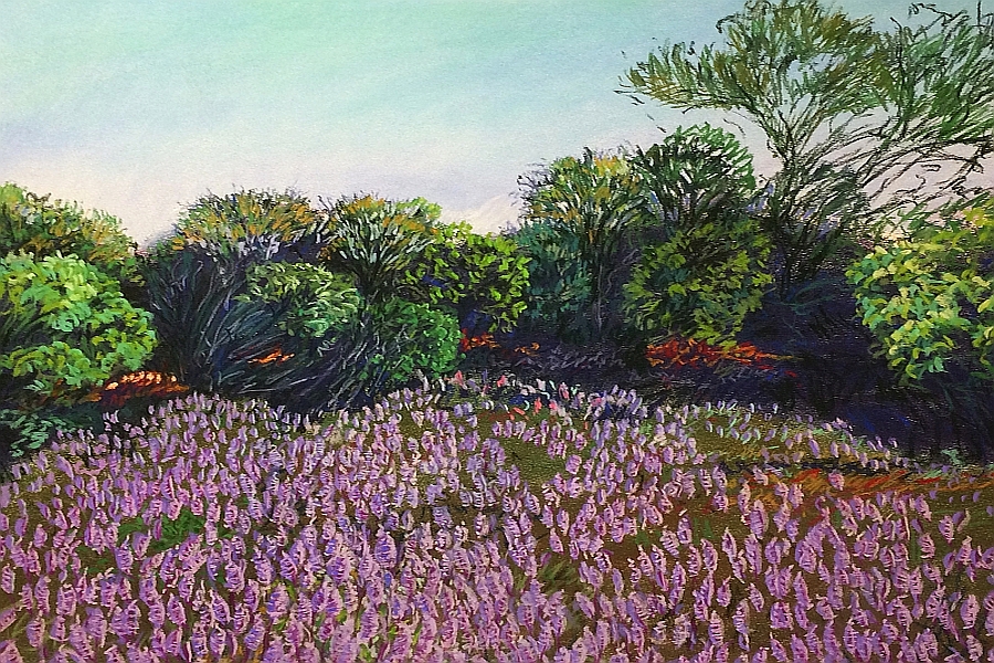
Mulla Mulla, Fitzgerald's Mulla Mulla. Ptilotus fasciculatus.
Mount Magnet
is a town in the Murchison goldfields, 569 km north east of Perth. It takes its
name from a nearby hill named West Mount
Magnet by explorer Robert Austin in 1854. It received the name because
Austin noticed the hill interfered with his compass due to the unusually high
iron content of the rocks at its peak. Today the hill is known by the traditional
aboriginal owners name Warramboo meaning
campfire camping place.
Paper Size: 560mm x 760mm
Soft Artist's quality pastels on
Acid Free 100% Cotton Paper.
In 1883, John Forrest, explorer and first Premier of Western Australia chose the site name for the town of Broome, to service the pearling industry. Forrest named Broome in honour of the then Governor Fredrick Broome. It is built on the traditional lands of the Yawuru aboriginal people. Cable Beach received it name because in 1889 the undersea telegraph cable to Singapore made landfall there. Today Cable Beach is known for camels, nudists and box jellyfish.
Paper Size: 560mm x 760mmSoft Artist's quality pastels on
Acid Free 100% Cotton Paper.